 |
| |
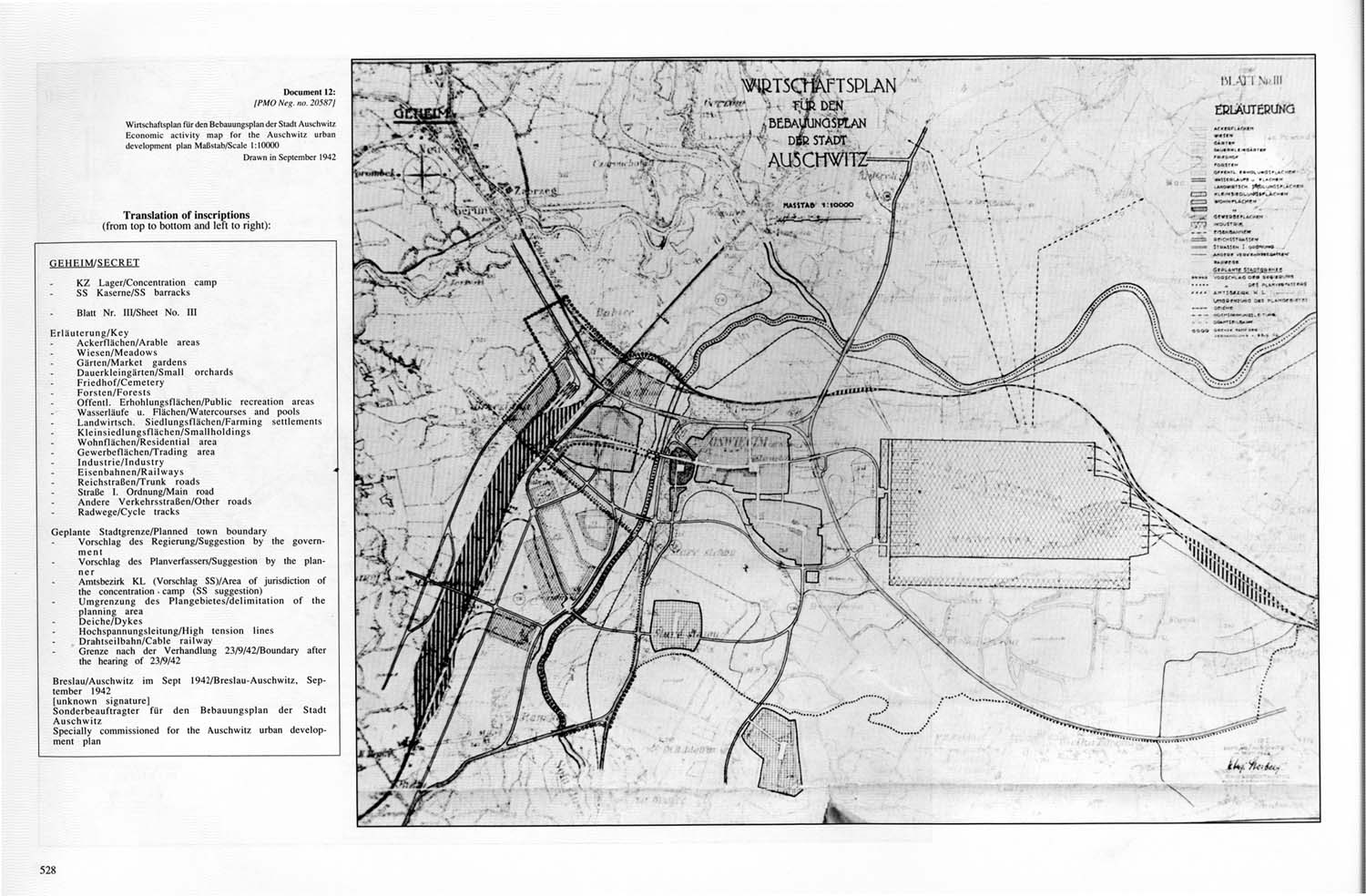
Document 12:
[PMO neg. no. 20587] |
|
| |
|
|
| |
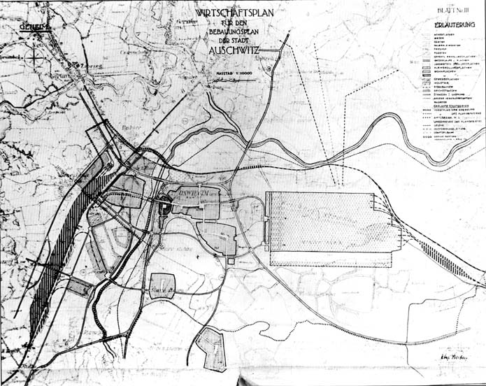
Wirtschuftsplan für den Bebauungsplan Jar Stadt Auschwitz /
Economic activity map for the Auschwitz. urban development plan
Maßstb / Scale 1:10000
Drawn in September 1942 |
|
|
| |
Translation of inscriptions
(from top to bottom and left to right): |
|
| |
|
|
| |
GEHEIM / SECRET. |
|
| |
|
|
| |
· |
KZ Lager / Concentration camp |
|
| |
· |
SS Kaserne / SS barracks |
|
| |
|
|
|
| |
· |
Blatt Nr. III / Sheet No. III |
|
| |
|
|
|
| |
Erläuterung / Key |
|
| |
· |
Ackerflächen / Arable areas |
|
| |
· |
Wiesen/Meadows |
|
| |
· |
Gärten / Market gardens |
|
| |
· |
Dauerkleingärten / Small orchards |
|
| |
· |
Friedhof / Cemetery |
|
| |
· |
Forsten / Forests |
|
| |
· |
Offentl. Erhohlungsflächen / Public recreation areas |
|
| |
· |
Wasserlaute u. Flächen / Watercourses and pools |
|
| |
· |
Landwirtsch. Siedlungsflächen / Farming settlements |
|
| |
· |
Kleinsiedlungsflächen / Smallholdings |
|
| |
· |
Wohnflächen / Residential area |
|
| |
· |
Gewerbeflächen / Trading area |
|
| |
· |
Industrie / Industry |
|
| |
· |
Eisenbahnen / Railways |
|
| |
· |
Reichstraßen / Trunk roads |
|
| |
· |
Straße I. Ordnung / Main road |
|
| |
· |
Andere Verkehrsstraßen / Other roads |
|
| |
· |
Radwege / Cycle tracks |
|
| |
|
|
|
| |
Geplante Stadtgrenze / Planned town boundary |
|
| |
· |
Vorschlag des Regierung / Suggestion by the government |
|
| |
· |
Vorschlag des Planverfassers / Suggestion by the planner |
|
| |
· |
Amtsbezirk KL (Vorschlag SS) / Area of jurisdiction of the concentration, camp (SS suggestion) |
|
| |
· |
Umgrenzung des Plangebietes / delimitation of the planning area |
|
| |
· |
Deiche / Dykes |
|
| |
· |
Hochspannungsleitung / High tension lines |
|
| |
· |
Drahtseilbahn / Cable railway |
|
| |
· |
Grenze nach der Verhandlung 23/9/42 / Boundary after the hearing of 23/9/42 |
|
| |
|
|
| |
Breslau / Auschwitz im Sept 1942 / Breslau-Auschwitz, September 1942
(unknown signature)
Sonderbeauftragter für den Bebauungsplan der Stadt Auschwitz /
Specially commissioned for the Auschwitz urban development plan |
|

